
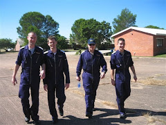
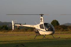
Sheena Chapple and Sarah Louise Gibbons
Instrument flying is an integral part of a pilot’s career. It is the technique used to fly commercially. It is taught so you can fly in low cloud, low visibility conditions – basically only being able to see the runway by the approach lights as you arrive at it.
It all begins on a basic simulator where you have only the instruments in front of you (i.e. no image!!!). This is where you learn the basics to fly on instruments alone. All of this builds you up to learn to completely rely on your instruments and not necessarily what your mind is telling you (‘seat of the pants’ sense).
The first practical application of this knowledge is to complete your Night Rating. This consists of 10 flights in the aircraft in simulated darkness. In order to simulate darkness we use cardboard screens designed specifically to block your vision of the outside world, while orientated to allow your instructor full view.
The various manoeuvres practiced are rate 1 turns, steep turns, climbing and descending turns, and timed turns when practising limited panel (partial instrument failure).
The necessity to complete this phase of flight is to allow you to operate the aircraft without outside reference or horizon. These skills are an essential part of later and more complex instrument flying.
These newly acquired skills are then implemented in the use of navigation aids. It begins with the Non Directional Beacon (NDB) and VHF omni-directional radio range (VOR). These nav aids are located at all major airports and are used for instruments procedures, i.e. holding overhead an aerodrome and non-precision approaches to land.
To begin with the training focuses on structured holds which are specifically designed with the nav aid, aerodrome, and aircraft in mind. These are used at busy airports to ensure vertical separation while waiting to land.
Once this is mastered, your training progresses to non-precision and precision approaches to land. These procedures are also specifically designed with the nav aid, aerodrome and aircraft in mind, but surrounding terrain heights are considered too.
These procedures are laid out on ICAO specific Approach Charts, commonly called plates.
It is necessary to use another nav aid, called an Instrument Landing System (ILS), to execute a precision approach. The ILS consists of a localiser (lateral guidance) and a glide slope (vertical guidance). This combination allows you to fly an approach to a runway in minimum visibility and extremely low cloud (a normal day in Ireland !). These conditions are known in aviation as Instrument Meteorological Conditions (IMC).
Each aerodrome has an exclusively designed plate for each approach and runway. These are based on nav aid availability, runway elevation, surrounding terrain elevation and type of aircraft. As mentioned earlier these techniques are used by all modern airliners to allow global navigation in extreme weather conditions.


No comments:
Post a Comment